Shoshone Range
| Shoshone Range | |
|---|---|
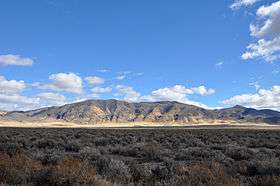 Looking east from Nevada State Route 305 | |
| Highest point | |
| Peak | Mount Lewis |
| Elevation | 9,678 ft (2,950 m) |
| Coordinates | 40°24.2′N 116°51.7′W / 40.4033°N 116.8617°W |
| Geography | |
| Country | United States |
| State | Nevada |
| District | Lander County |
| Range coordinates | 40°21′1.701″N 116°53′4.343″W / 40.35047250°N 116.88453972°WCoordinates: 40°21′1.701″N 116°53′4.343″W / 40.35047250°N 116.88453972°W |
| Topo map | USGS Goat Peak |

The Shoshone Range is a mountain range in Lander County, Nevada.[1] The northeast end of the range extends into Eureka County at Shoshone Point on the Humboldt River.[2][3]
The range was named from the Shoshoni language meaning "grass".[4]
References
- 1 2 "Shoshone Range". Geographic Names Information System. United States Geological Survey. December 12, 1980. Retrieved November 5, 2009.
- ↑ Crescent Valley, Nevada, 30x60 Minute Quadrangle, USGS, 1987 (40116-A1-TM-100)
- ↑ Battle Mountain, Nevada, 30x60 Minute Quadrangle, USGS, 1988 (40116-E1-TM-100)
- ↑ Federal Writers' Project (1941). Origin of Place Names: Nevada (PDF). W.P.A. p. 42.
This article is issued from
Wikipedia.
The text is licensed under Creative Commons - Attribution - Sharealike.
Additional terms may apply for the media files.