Sebree Island
| Sebree Island | |
| Island | |
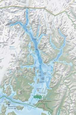 Sebree Island location in Glacier Bay | |
| Country | United States |
|---|---|
| State | Alaska |
| Borough | The Unorganized Borough |
| Elevation | 0 m (0 ft) |
| Coordinates | Island 58°45′46″N 136°09′26″W / 58.76278°N 136.15722°WCoordinates: Island 58°45′46″N 136°09′26″W / 58.76278°N 136.15722°W |
| Lowest point | |
| - elevation | 0 ft (0 m) |
| Timezone | AKST (UTC-9) |
| - summer (DST) | AKDT (UTC-8) |
| ZIP code | 99901 ... 99950 |
| Area code | +1 907 |
| USGS GNIS | 1414570 |
| Topo map | USGS Alaska |
| [1] | |
Sebree Island is an island in Muir Inlet, Glacier Bay in Alaska. It is named for United States Navy officer and Governor of American Samoa Rear Admiral Uriel Sebree.[2] Island also known as Headland Island as it was called by Cushing in 1891 (p. 228).[1] Sebree Peak is named for the same officer.
References
- 1 2 "Sebree Island". Geographic Names Information System. United States Geological Survey. Retrieved 2018-05-22.
- ↑ Baker, Marcus (1906). Geographic Dictionary of Alaska (2nd ed.). Washington: United States Government Printing Office. p. 559. Retrieved 2008-05-26.
External links
This article is issued from
Wikipedia.
The text is licensed under Creative Commons - Attribution - Sharealike.
Additional terms may apply for the media files.