Schimmelkopf
| Schimmelkopf | |
|---|---|
| (Weiskircher Höhe) | |
 | |
| Highest point | |
| Elevation | 694.8 m above sea level (NHN) (2,280 ft) [1][2] |
| Listing | second highest elevation in Saarland |
| Coordinates | 49°35′21″N 6°48′21″E / 49.589278°N 6.805833°ECoordinates: 49°35′21″N 6°48′21″E / 49.589278°N 6.805833°E |
| Geography | |
 Schimmelkopf | |
| Parent range | Schwarzwalder Hochwald |
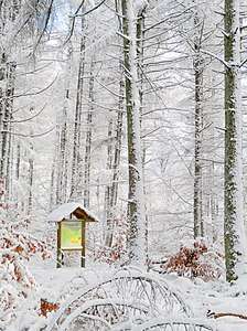
The Schimmelkopf or Weiskircher Höhe[3] is a mountain that rises in the Schwarzwalder Hochwald (part of the Hunsrück) on the boundary between the counties of Trier-Saarburg (Rhineland-Palatinate) and Merzig-Wadern (Saarland) and, at 694.8 m above sea level (NHN),[1][2] is the second highest peak in the German state of Saarland.
Location
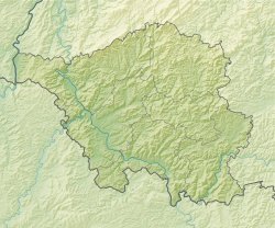
The Schimmelkopf rises in the southwestern part of the Schwarzwalder Hochwald along the northern state border of the Saarland. Its summit lies within the Saar-Hunsrück Nature Park, about 4.8 km north of Weiskirchen (Saarland), around 3.7 km southeast of Mandern and circa 3.3 km south of Waldweiler (both in Rhineland-Palatinate).
References
- 1 2 Height of the Schimmelkopf according to Schimmelkopf (map and information) at Saarlandbilder.net
- 1 2 Map services of the Federal Agency for Nature Conservation
- ↑ Horst Brausch et al.: Saarland (map, picture, word). Schroedel-Verlag, Brunswick, 2009, p. 5, ISBN 978-3-507-50544-5 (schoolbook)
External links
| Wikimedia Commons has media related to Schimmelkopf. |
- Schimmelkopf, map and info at saarlandbilder.net
This article is issued from
Wikipedia.
The text is licensed under Creative Commons - Attribution - Sharealike.
Additional terms may apply for the media files.