Scheinberg
| Scheinberg (Steigerwald) | |
|---|---|
| Highest point | |
| Elevation | 498 m above sea level (NHN) (1,634 ft) |
| Listing | Highest hill in the Steigerwald |
| Coordinates | 49°36′51″N 10°17′14″E / 49.61417°N 10.28722°ECoordinates: 49°36′51″N 10°17′14″E / 49.61417°N 10.28722°E |
| Geography | |
| Location | Bavaria, Germany |
| Parent range | Steigerwald |
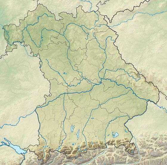
The Scheinberg is a hill, 498 m above NHN,[1] and the highest point in the Steigerwald, a hill range in southern Germany. It lies northeast of Ippesheim in the county of Neustadt an der Aisch-Bad Windsheim in Middle Franconia. To the north runs the border with the Lower Franconian province of Kitzingen.
References
This article is issued from
Wikipedia.
The text is licensed under Creative Commons - Attribution - Sharealike.
Additional terms may apply for the media files.
