Skande
| Skande სკანდე | |
|---|---|
| Village | |
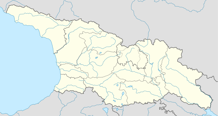 Skande Location of Skande | |
| Coordinates: 42°15′44″N 43°02′48″E / 42.26222°N 43.04667°ECoordinates: 42°15′44″N 43°02′48″E / 42.26222°N 43.04667°E | |
| Country |
|
| Region | Imereti |
| Municipality | Terjola |
| Elevation | 400 m (1,300 ft) |
| Population (2014)[1] | |
| • Total | 434 |
Skande (Georgian: სკანდე), sometimes known as Skanda (სკანდა), is a village in the Terjola Municipality, Imereti, Georgia. It is located in western part of the country, in the small river valley of Chkhari, part of the Kvirila River system, some 15 km northeast of the town of Terjola. Its population as of the 2014 census was 434.
Skanda is home to a ruined fortress, which is the Scanda or Scandeis of the Eastern Roman authors of Late Antiquity and one of the strongholds contested between the Eastern Roman and Sasanian empires during their conflicts in Lazica. It maintained its importance as one of the key fortresses of Imereti down to the early 19th century.
History
Late Antiquity
Skanda is referenced in the Eastern Roman sources, such as the Novellae by the emperor Justinian I and historical accounts of the Justinianian era by Procopius and Menander Protector,[2] as a fortress in the hinterland of Lazica, a kingdom on the Black Sea contested between the Eastern Roman and Sasanian Persian empires. The fortress of Skanda, coupled with that of Sarapanis, stood in difficult terrain, guarding the eastern approaches to the country, by the boundary of Iberia.[3] Around 522, shortly after Lazica accepted the Eastern Roman suzerainty, the Laz garrisons of these two frontier strongholds were substituted with the imperial troops, who soon abandoned them due to difficulties in logistics. The Sasanian forces moved in and continued to occupy the fortresses until after the conclusion of the "Eternal Peace" in 532. The Laz destroyed both Skanda and Sarapanis in order to deny the Sasanian military the means of using them in the future, but, as the hostilities resumed in Lazica, the Persians restored Skanda in 551 and held it through the course of the conflict for nearly 25 years.[4][5]
Middle Ages and Early Modern
Recorded history of Skanda in the High Middle Ages is scarce. The early 11th-century unification of the Kingdom of Georgia—of which the former territories of Lazica and Iberia were parts—deprived Skanda of its past strategic importance as a frontier fortress. By the mid-15th century, as the Kingdom of Imereti was emerging independent of a war-torn Georgia, Skanda again rose in prominence. Beyond native historical documents, it is mentioned by the foreign visitors of Georgia, such as Giosafat Barbaro and Ambrogio Contarini in the 1470s, Nikifor Tolochanov and Aleksey Yevlyev in the 1650s, Jean Chardin in the 1660s, and Johann Anton Güldenstädt in the 1770s. Skanda was a battleground of a series of internecine conflicts that plagued the country from the 16th century into the 18th.[6][7]
The Russian envoys Tolochanov and Yevlyev, touring Imereti in the 1650s, visited Skanda—then a favorite summer residence of King Alexander III of Imereti—several times and described it as a well-built fortress atop a hill in a rugged river valley, enveloped by a 20 m-high and 600 m-long brick wall and fortified with four towers planted with cannons. Within the walls were a palace of three stories, church of St. George, and deposit of the king's riches. A decade later, the Frenchman Jean Chardin found Skanda already in decline. It was later restored by the government of Imereti. The Georgian historian, Prince Vakhushti, compiling his geography of Georgia in 1745, referred to Skanda as the location of a royal palace and "a great citadel of imposing construction". After the Russian conquest of Imereti in 1810, the fortress of Skanda was abandoned and left to fall in ruins. In the 1830s, the Swiss scholar Frédéric Dubois de Montpéreux found Skanda "no more than a ruin, long since abandoned".[8]
Skanda fortress
The fortress of Skanda stands in ruins north of the homonymous village, on a hill between two streams (42°16′6″N 43°2′46″E / 42.26833°N 43.04611°E). Its area totals 7,000 m2 and height reaches 120 m. Relatively better preserved are the eastern façade of a royal palace and walls of a church which contains a Georgian inscription. The monument was archaeologically studied in 1949 and 1995. Most of the materials uncovered were from the late Middle Ages. The earliest structures of the fortress were dated by the researcher of Skanda, Lekvinadze, to the 4th century. The Skanda complex is inscribed by the government of Georgia on the registry of the Immovable Monuments of National Significance.[9]
Population
As of the 2014 national census, Skande had the population of 434.[1] Most of them (99%) are ethnic Georgians.[10]
| Population | 2002 census | 2014 census |
|---|---|---|
| Total | 561[10] | 434[1] |
Notes
- 1 2 3 "Population Census 2014: Number of Population by Administrative-Territorial Units and sex". National Statistics Office of Georgia. Retrieved 13 October 2016.
- ↑ Braund 1994, pp. 40, 291.
- ↑ Braund 1994, pp. 283, 287–288.
- ↑ Gamkrelidze et al. 2013, p. 582.
- ↑ Braund 1994, pp. 291, 302.
- ↑ Gamkrelidze et al. 2013, p. 482.
- ↑ Rayfield 2012, pp. 215, 218–219.
- ↑ Allen 1950, p. 108.
- ↑ Gamkrelidze et al. 2013, pp. 482–483.
- 1 2 "საქართველოს მოსახლეობის 2002 წლის პირველი ეროვნული საყოველთაო აღწერის შედეგები, ტომი II [Results of the first national census of the population of Georgia in 2002, volume II]" (PDF) (in Georgian). National Statistics Office of Georgia. 2003. Retrieved 13 October 2016.
References
- Allen, William Edward David (1950). "Two Georgian Maps of the First Half of the Eighteenth Century". Imago Mundi. 10: 99–121. doi:10.1080/03085695308592037.
- Braund, David (1994). Georgia in Antiquity: A History of Colchis and Transcaucasian Iberia, 550 BC–AD 562. Oxford: Oxford University Press. ISBN 0-19-814473-3.
- Gamkrelidze, Gela; Mindorashvili, Davit; Bragvadze, Zurab; Kvatsadze, Marine, eds. (2013). "სკანდა [Skanda]". ქართლის ცხოვრების ტოპოარქეოლოგიური ლექსიკონი [Topoarchaeological dictionary of Kartlis tskhovreba (The history of Georgia)] (PDF) (in Georgian) (1st ed.). Tbilisi: Georgian National Museum. pp. 488–483. ISBN 978-9941-15-896-4.
- Rayfield, Donald (2012). Edge of Empires: A History of Georgia. London: Reaktion Books. ISBN 1780230303.