Savaneta
| Savaneta | |
|---|---|
| Town | |
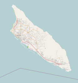 Savaneta Location in Aruba | |
| Coordinates: 12°26.5′N 69°56′W / 12.4417°N 69.933°WCoordinates: 12°26.5′N 69°56′W / 12.4417°N 69.933°W | |
| Country | Aruba |
| Region | Savaneta |
| Elevation | 157 m (515 ft) |
| Time zone | UTC-4 (AST) |
Savaneta is a town and district in southeastern Aruba.[1] Until 1797, it was the island's capital city.[2] It is home to the island's oldest surviving home, a 150-year-old cas di torto, or mud hut.[2] It is also the location of the Marine Barracks Savaneta, which is a base for the Royal Netherlands Navy, the Netherlands Marine Corps, the Netherlands Coastguard, and the Aruban Military.[2]
References
- ↑ Aruba Central Bureau of Statistics (September 29, 2010). Fifth Population and Housing Census, 2010: Selected Tables (PDF) (Report). p. 75. Retrieved May 9, 2017.
- 1 2 3 "Guide to Savaneta, Aruba - Things to Do, Hotels, Resorts & Restaurants". Retrieved 2018-06-04.
This article is issued from
Wikipedia.
The text is licensed under Creative Commons - Attribution - Sharealike.
Additional terms may apply for the media files.