Sarpang
| Sarpang | |
|---|---|
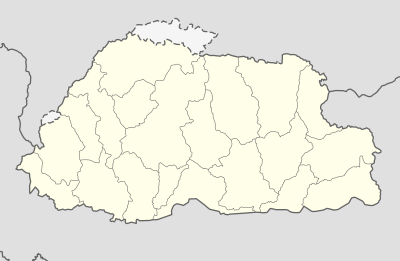 Sarpang Location in Bhutan | |
| Coordinates: 27°2′N 90°25′E / 27.033°N 90.417°ECoordinates: 27°2′N 90°25′E / 27.033°N 90.417°E | |
| Country |
|
| District | Sarpang District |
| Elevation | 369 m (1,211 ft) |
| Population (2012) | |
| • Total | 10,416 |
| Time zone | UTC+6 (BTT) |
Sarpang[1] [2], also transliterated as Sarbhang or Sarbang[3] is a thromde or town in Sarpang District in southern Bhutan.[4]

Post office in Sarpang, Bhutan
References
- ↑ official name, see approved thromdes & boundaries 2010, part 3 on the website of the Ministry of Works and Human Settlements http://www.mowhs.gov.bt/publications/approved-thromde-and-boundaries/
- ↑ see information provided by the Sarpang Dzongkhag Administration: http://www.sarpang.gov.bt/?page_id=434
- ↑ see "Change of name of Post Offices in Bhutan" by Leo van der Velden in Postal Himal no.162, 2nd Quarter 2015 http://himalaya.socanth.cam.ac.uk/collections/journals/postalhimal/pdf/PH_2015_002.pdf
- ↑ "NGA GeoName Database". National Geospatial Intelligence Agency. Archived from the original on 2008-06-08. Retrieved 2008-07-05.
External links
This article is issued from
Wikipedia.
The text is licensed under Creative Commons - Attribution - Sharealike.
Additional terms may apply for the media files.