Sappho Point
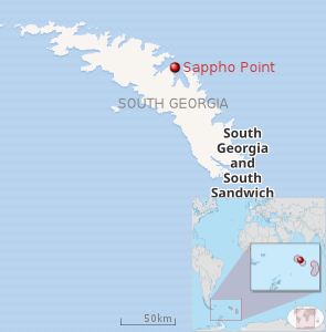 |
Sappho Point (54°14′S 36°28′W / 54.233°S 36.467°WCoordinates: 54°14′S 36°28′W / 54.233°S 36.467°W) is a headland which marks the west side of the entrance to Cumberland East Bay, on the north coast of South Georgia. Probably first sighted by the British expedition under Cook which explored the north coast of South Georgia in 1775. Named for HMS Sappho, British ship used in charting portions of Cumberland Bay in 1906.
![]()
This article is issued from
Wikipedia.
The text is licensed under Creative Commons - Attribution - Sharealike.
Additional terms may apply for the media files.