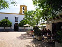
Santa Gertrudis de Fruitera
| Santa Gertrudis de Fruitera | |
|---|---|
| Village | |
 | |
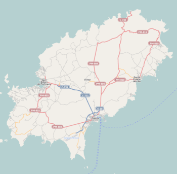 Santa Gertrudis de Fruitera Location of the village of Santa Gertrudis de Fruitera | |
| Coordinates: 38°59′52″N 1°25′42″E / 38.99778°N 1.42833°E | |
| Country |
|
| Region | Balearic Islands |
| Population (2006) | |
| • Total | 1,680 |
| Time zone | UTC+1 (CET) |
| • Summer (DST) | UTC+2 (CEST) |
Santa Gertrudis de Fruitera is a small village in the central region of the Spanish island of Ibiza.[1]
References
This article is issued from
Wikipedia.
The text is licensed under Creative Commons - Attribution - Sharealike.
Additional terms may apply for the media files.