Samdrup Jongkhar
| Samdrup Jongkhar བསམ་གྲུབ་ལྗོངས་མཁར་ | |
|---|---|
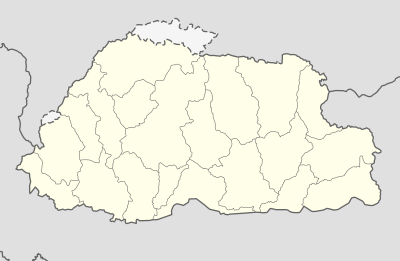 Samdrup Jongkhar Location in Bhutan | |
| Coordinates: 26°55′N 91°37′E / 26.917°N 91.617°ECoordinates: 26°55′N 91°37′E / 26.917°N 91.617°E | |
| Country | Bhutan |
| District | Samdrup Jongkhar District |
| Area | |
| • Total | 4.47 km2 (1.73 sq mi) |
| Elevation | 173 m (568 ft) |
| Population (2017) | |
| • Total | 9,325 |
| • Density | 2,100/km2 (5,400/sq mi) |
| Time zone | UTC+6 (BTT) |
Samdrup Jongkhar (Dzongkha:བསམ་གྲུབ་ལྗོངས་མཁར་) is a town and seat of Samdrup Jongkhar District in Bhutan.[1]
The town is located at the south-eastern part of Bhutan and borders the Indian state of Assam. Though there is no clear historical record of the development of the town, it is said to have developed as a result of the construction of the Samdrup Jongkhar-Tashigang national highway in the 1960s. In the past the Sharchops of Tashigang, Dundsan, Orong and Yangtse used to trade in a small Indian border town in Assam called Gudama (current day Daranga or Darranga Mela, better known as Mela Bazar[2]). Today it is one of the most important trading towns for the eastern districts of Bhutan. Near the border is Hanumaan Mandir in NK Darranga, a temple run by Hanumaan Mandir Charity in which there are both Bhutan and Indian people member. After 2003, due to insurgency problems, much of the business was halted, causing a ripple effect on the developmental and socio-economic life of the people of most of eastern Bhutan.
Samdrup Jonkhar Dzongkhag has a mix of population largely dominated by the Sharchops and by Lhotshampas in Bangtar. It is also an important economic center of the country where coal mining is an important contribution to the country's economy.
References
- ↑ National Geospatial Intelligence Agency
- ↑ "Darranga Mela - a place of tourism and business" http://www.assamspider.com/resources/3993-Daranga-Mela-place-tourism-business.aspx
External links