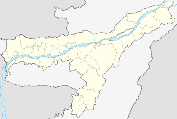
Salakati
| Salakati | |
|---|---|
| city | |
 Salakati Location in Assam, India  Salakati Salakati (India) | |
| Coordinates: 26°29′36″N 90°21′45″E / 26.493313°N 90.362549°ECoordinates: 26°29′36″N 90°21′45″E / 26.493313°N 90.362549°E | |
| Country |
|
| State | Assam |
| District | Kokrajhar |
| Population (2001) | |
| • Total | 6,772 |
| Languages | |
| • Official | Assamese |
| Time zone | UTC+5:30 (IST) |
| ISO 3166 code | IN-AS |
| Vehicle registration | AS |
Salakati, is a census town in Kokrajhar district in the Indian state of Assam. Salakati is 14km away in the north east direction from Kokrajhar.
Demographics
As of 2001 India census,[1] Salakati had a population of 6772. Males constitute 55% of the population and females 45%. Salakati has an average literacy rate of 66%, higher than the national average of 59.5%: male literacy is 74%, and female literacy is 56%. In Salakati, 13% of the population is under 6 years of age.
Transport
Salakati is well connected by road to Kokrajhar and Bongaigaon. There is a Railway Station (SLKX) for passenger trains under Northeast Frontier Railway Zone.
Others
State Bank of India has a branch at Salakati.[2] NTPC Limited has a Thermal Power Project at Salakati known as NTPC Bongaigaon. LPG DISTRIBUTOR M/S Adarsh Indane Gramin Vitrak.
References
- ↑ "Census of India 2001: Data from the 2001 Census, including cities, villages and towns (Provisional)". Census Commission of India. Archived from the original on 2004-06-16. Retrieved 2008-11-01.
- ↑ http://banksifsccode.com/state-bank-of-india-ifsc-code/assam/kokrajhar/salakati-branch/