Saint-François Airport
| Saint-François Airport | |||||||||||
|---|---|---|---|---|---|---|---|---|---|---|---|
| Summary | |||||||||||
| Airport type | Public | ||||||||||
| Serves | Saint-François | ||||||||||
| Elevation AMSL | 10 ft / 3 m | ||||||||||
| Coordinates | 16°15′28″N 61°15′45″W / 16.25778°N 61.26250°WCoordinates: 16°15′28″N 61°15′45″W / 16.25778°N 61.26250°W | ||||||||||
| Map | |||||||||||
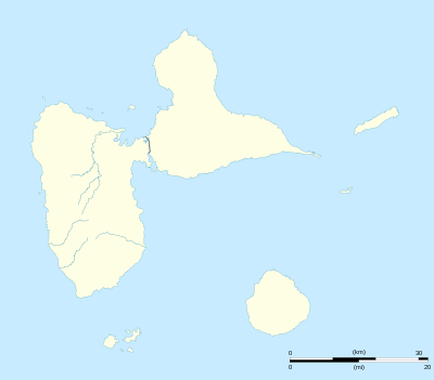 SFC Location of the airport in Guadeloupe | |||||||||||
| Runways | |||||||||||
| |||||||||||
Saint-François Airport (IATA: SFC, ICAO: TFFC) is an airport serving Saint-François, a town at the southeastern tip of Grande Terre island in Guadeloupe.
See also
.svg.png)

- Transport in Guadeloupe
- List of airports in Guadeloupe
References
- ↑ Airport information for SFC at Great Circle Mapper.
- ↑ Google Maps - Saint-François
External links
This article is issued from
Wikipedia.
The text is licensed under Creative Commons - Attribution - Sharealike.
Additional terms may apply for the media files.