Sailor Creek
| Sailor Creek | |
| Country | United States |
|---|---|
| State | Idaho |
| Counties | Owyhee County, Idaho, Elmore County, Idaho |
| Source | |
| - location | southwest of Castleford, Owyhee County, Idaho |
| - elevation | 4,879 ft (1,487 m) [1] |
| - coordinates | 42°22′52″N 115°12′59″W / 42.38111°N 115.21639°W [2] |
| Mouth | Snake River |
| - location | near Hammett, Owyhee County, Idaho |
| - elevation | 2,467 ft (752 m) [2] |
| - coordinates | 42°55′43″N 115°28′48″W / 42.92861°N 115.48000°WCoordinates: 42°55′43″N 115°28′48″W / 42.92861°N 115.48000°W [2] |
| Length | 64 mi (103 km) [3] |
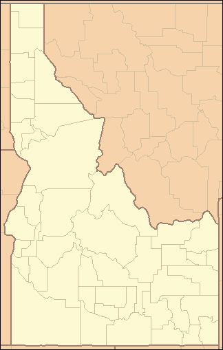 Location of the mouth of Sailor Creek in Idaho | |
Sailor Creek is a 64-mile (103 km) long[3] tributary of the Snake River in the U.S. state of Idaho. Beginning at an elevation of 4,879 feet (1,487 m)[1] southwest of Castleford in southeastern Owyhee County, it flows north through the Bruneau Desert, briefly crossing into Elmore County in the process. It then flows northwest to its mouth near Hammett,[4] at an elevation of 2,467 feet (751.9 m).[2]
See also
References
- 1 2 Source elevation derived from Google Earth search using GNIS source coordinates.
- 1 2 3 4 "Sailor Creek". Geographic Names Information System. United States Geological Survey. June 21, 1979. Retrieved February 12, 2013.
- 1 2 "National Hydrography Dataset". United States Geological Survey. Retrieved February 12, 2013.
- ↑ Idaho Road and Recreation Atlas (Map) (2nd ed.). 1:250,000. Benchmark Maps. 2010. pp. 72–73, 83. ISBN 978-0-929591-06-3. OCLC 567571371.
This article is issued from
Wikipedia.
The text is licensed under Creative Commons - Attribution - Sharealike.
Additional terms may apply for the media files.