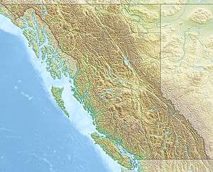
Sahtaneh River
| Sahtaneh River | |
| River | |
| Country | Canada |
|---|---|
| Province | British Columbia |
| Elevation | 279 m (915 ft) |
| Coordinates | 59°01′59″N 122°27′11″W / 59.03306°N 122.45297°WCoordinates: 59°01′59″N 122°27′11″W / 59.03306°N 122.45297°W |
| Source | |
| - coordinates | 59°00′04″N 121°55′25″W / 59.001028°N 121.923520°W |
| Timezone | PST (UTC-8) |
| - summer (DST) | PDT (UTC-7) |
 | |
The Sahtaneh River is a river in the Mackenzie River watershed in British Columbia, Canada.[1] It travels from a point in the Canadian Rockies (59°00′04″N 121°55′25″W / 59.001028°N 121.923520°W) approximately 40 miles (64 km) west to the Fort Nelson River.
Sources
- ↑ "Sahtaneh River, Canada - Geographical Names, map, geographic coordinates". Geographical Names. Retrieved 20 May 2016.
This article is issued from
Wikipedia.
The text is licensed under Creative Commons - Attribution - Sharealike.
Additional terms may apply for the media files.