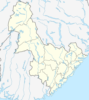
Rysstad
| Rysstad | |
|---|---|
| Village | |
 Rysstad Location of the village  Rysstad Rysstad (Norway) | |
| Coordinates: 59°05′37″N 7°32′09″E / 59.0935°N 07.5359°ECoordinates: 59°05′37″N 7°32′09″E / 59.0935°N 07.5359°E | |
| Country | Norway |
| Region | Southern Norway |
| County | Aust-Agder |
| District | Setesdal |
| Municipality | Valle |
| Elevation[1] | 253 m (830 ft) |
| Time zone | UTC+01:00 (CET) |
| • Summer (DST) | UTC+02:00 (CEST) |
| Post Code | 4748 Rysstad |
Rysstad is a village in Valle municipality in Aust-Agder county, Norway. The village is located along the river Otra in the Setesdal valley. The Norwegian National Road 9 runs through the village. The village of Besteland lies about 7 kilometres (4.3 mi) to the south and the villages of Brokke and Hovet lie about 3 kilometres (1.9 mi) to the north.
Rysstad was the administrative centre of the old municipality of Hylestad which existed from 1915 until its dissolution in 1962. Hylestad Church is located in Rysstad.
References
- ↑ "Rysstad, Valle (Aust-Agder)". yr.no. Retrieved 2017-04-06.
This article is issued from
Wikipedia.
The text is licensed under Creative Commons - Attribution - Sharealike.
Additional terms may apply for the media files.