Rumphi
Coordinates: 11°01′S 33°52′E / 11.017°S 33.867°E
| Rumphi | |
|---|---|
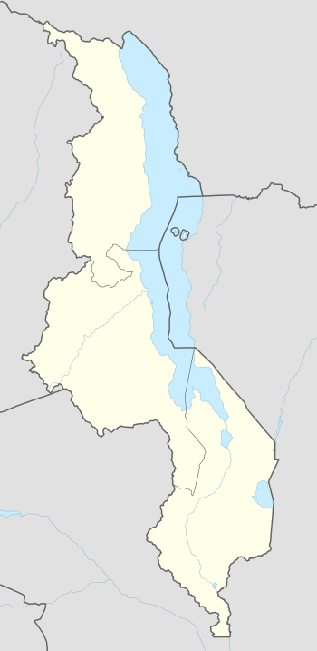 Rumphi Location in Malawi | |
| Coordinates: 11°01′S 33°52′E / 11.017°S 33.867°E | |
| Country |
|
| Region | Northern Region |
| District | Rumphi District |
| Population (2008) | |
| • Total | 27 988 |
| Time zone | +2 |
| Climate | Cwa |
Rumphi is the capital of the Rumphi District in the Northern Region of Malawi. It is a lively town with a market which serves the widespread tobacco farming community. Rumphi is noted for the kindness of the people (it is even rude to pass by someone without greeting them) . It is directly on the way to Nyika National Park, Nyika Plateau, Vwaza Marsh Game Reserve. Unlike its larger neighbour, Mzuzu, which has mild sunny weather almost all year, Rumphi has a differing climate. The town, being surrounded by hills, always has a nice wind. The town is bounded by the Rumphi river in the east and the South_Rukuru_River in the south.
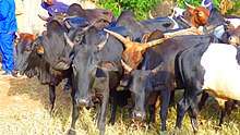
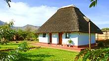
Rumphi is famous for the cattle market. On every Saturday morning at 6:00 a.m. farmers and dealers are coming from far to sell and buy cattle. It is the biggest cattle market between Lilongwe, Karonga, and Mzimba. Along the road to Bolero, opposite the FDH Bank is Roscher Youth Development Centre and on its plot to the South Rukuru River the Support Malawi e.V. organization. The youth built the first Earthbag House.
Demographics
| Year | Population[1] |
|---|---|
| 1987 | 7 156 |
| 1998 | 13 977 |
| 2008 | 27 988 |