Roundu
| Roundu روندو | |
|---|---|
| Nickname(s): Rongyul | |
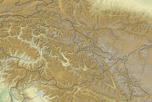 Roundu Hassanabad on Pakistan Map | |
| Coordinates: 35°40′48″N 75°1′37″E / 35.68000°N 75.02694°ECoordinates: 35°40′48″N 75°1′37″E / 35.68000°N 75.02694°E | |
| Country | Pakistan |
| Province | Gilgit Baltistan |
| Population | |
| • | 85,000 |
| Time zone | UTC+5 (PST) |
| • Summer (DST) | UTC+6 (GMT+5) |
| Website | http://www.travelpk.org/ |
Roundu derives from Balti words "Roung Yul" which means narrow place as this valley is narrower than other valleys of Baltistan. Two syllables, Round means double cropping zone or lower land and "du" means a valley in Balti language. In a nutshell, Roundu means lower valley. Roundu Valley is the longest canyon of Skardu. It is a subdivision of district Skardu and Thowar is its headquarters. It is also known as the gateway to Baltistan. Its population is about 80,000. The people of Roundu speak two languages i.e. Balti and Shina. Majority of the population speaks Balti while a lesser majority speaks Shina as well. The Shina spoken here is a dialect of the Shina spoken in Gilgit, Ghizer, Astore and Diamer. Roundu comprises numerous villages name as follows: Shengus, Chamachoo, Yulboo, Sabsar, Ghanji, Stak, Tallu, Tallu-Broq, Malyaar, Bilamik, Tormik, Tiriko, Thowar, Dambodas, Charri, Qaim Abad Charri, Bagardo, Shukoorabad. This beautiful valley is situated on the banks of the Indus River and it also comprises the two mighty mountain ranges, the Himalaya and the Karakorum. Roundu is also famous for its tourism potential and its rich agriculture.