Rougon, Louisiana
| Rougon | |
| Unincorporated community | |
| Country | United States |
|---|---|
| State | Louisiana |
| Parish | Pointe Coupee |
| Elevation | 30 ft (9.1 m) |
| Coordinates | 30°36′03″N 91°23′50″W / 30.60083°N 91.39722°WCoordinates: 30°36′03″N 91°23′50″W / 30.60083°N 91.39722°W |
| Timezone | CST (UTC-6) |
| - summer (DST) | CDT (UTC-5) |
| ZIP code | 70773 |
| Area code | 225 |
 Location of Rougon in Louisiana | |
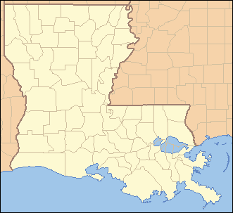
 Location of Louisiana in the United States | |
Rougon, (pronounced Rue Gahn) is an unincorporated community in southeastern Pointe Coupee Parish, Louisiana United States. The area is home to several plantation houses.
History
The community was formerly home to the now defunct P. V. Rougon store built in 1881.
Geography
There are no officially designated boundaries to the village, but the area is more or less bounded by Louisiana Highway 414 on the northern edge of the area, LA-983 on the western edge, a set of railroad tracks on the eastern edge, and southern Pointe Coupee Parish border on the southern edge. The zip code assigned to this area is 70773.[1]
Major Roadways
Education
There is one school in the area, Rougon Elementary School (formerly Rougon High School).
References
External links
Municipalities and communities of Pointe Coupee Parish, Louisiana, United States | ||
|---|---|---|
| City | 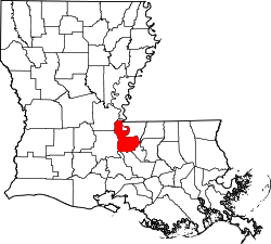 | |
| Towns | ||
| Village | ||
| CDP | ||
| Other unincorporated communities | ||
| Ghost towns | ||
This article is issued from
Wikipedia.
The text is licensed under Creative Commons - Attribution - Sharealike.
Additional terms may apply for the media files.