Rotuma Airport
| Rotuma Airport | |||||||||||
|---|---|---|---|---|---|---|---|---|---|---|---|
 Map of Rotuma showing location of airstrip | |||||||||||
| Summary | |||||||||||
| Airport type | Public | ||||||||||
| Operator | Airports Fiji Limited | ||||||||||
| Serves | Rotuma Island, Fiji | ||||||||||
| Location | Else'e, Malhaha | ||||||||||
| Elevation AMSL | 22 ft / 7 m | ||||||||||
| Coordinates | 12°28′57″S 177°04′16″E / 12.48250°S 177.07111°E | ||||||||||
| Map | |||||||||||
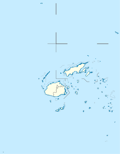 RTA Location of airport in Fiji | |||||||||||
| Runways | |||||||||||
| |||||||||||
|
Source:[1] | |||||||||||
Rotuma Airport (IATA: RTA, ICAO: NFNR) is an airport serving the island of Rotuma in Fiji.[1] It is located near Else'e,[1] a village in the district of Malhaha.[2] It is operated by Airports Fiji Limited.[3]
Facilities
The airport resides at an elevation of 22 feet (7 m) above mean sea level. It has one runway which is 1,494 metres (4,902 ft) in length.[1]
Airlines and destinations
| Airlines | Destinations |
|---|---|
| Fiji Airways operated by Fiji Link | Nadi |
| Northern Air | Nadi, Suva |
References
- 1 2 3 4 Airport information for Elsee, Rotuma Island, Fiji (NFNR / RTA) at Great Circle Mapper.
- ↑ "Malhaha". Rotuma.net. Retrieved 10 June 2010.
- ↑ "Outer Islands". Airports Fiji Limited. Retrieved 10 June 2010.
External links
- "Improving Air/Sea communications to Rotuma". Press Release. Government of Fiji. 21 November 2006. Archived from the original on 27 September 2007.
- Accident history for RTA / NFNR at Aviation Safety Network
This article is issued from
Wikipedia.
The text is licensed under Creative Commons - Attribution - Sharealike.
Additional terms may apply for the media files.