Rosengård, Odense
| Rosengård | |
|---|---|
| Neighbourhood | |
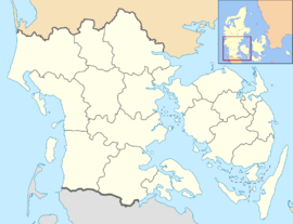 Rosengård Location in the Region of Southern Denmark | |
| Coordinates: 55°23′1″N 10°26′0″E / 55.38361°N 10.43333°ECoordinates: 55°23′1″N 10°26′0″E / 55.38361°N 10.43333°E | |
| Country | Denmark |
| Region | Southern Denmark |
| Municipality | Odense Municipality |
| Time zone | UTC+1 (CET) |
| • Summer (DST) | UTC+2 (CEST) |
Rosengård is a southeastern neighbourhood of Odense, in Funen, Denmark.[1] It contains the Rosengårdcentret buildings.
References
- ↑ "Lokalplaner - find den lokalplan du søger". Odense.dk. Archived from the original on 14 July 2014. Retrieved 9 July 2014.
This article is issued from
Wikipedia.
The text is licensed under Creative Commons - Attribution - Sharealike.
Additional terms may apply for the media files.