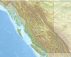
Roderick Island
 Roderick Island Location in British Columbia | |
| Etymology | Named after Roderick Finlayson |
|---|---|
| Geography | |
| Location | Finlayson Channel, Mathieson Channel |
| Coordinates | 52°38′55″N 128°22′11″W / 52.64861°N 128.36972°W[1]Coordinates: 52°38′55″N 128°22′11″W / 52.64861°N 128.36972°W[1] |
| Administration | |
| Province | British Columbia |
Roderick Island is an island in the North Coast region of British Columbia. To its west is Finlayson Channel, to its northeast Pooley Island, and to its south the Mathieson Channel and Susan Island. James Johnstone, one of George Vancouver's lieutenants during his 1791-95 expedition, first charted its north and west coasts in 1793.[2] It was named by Captain Daniel Pender after Roderick Finlayson.[1]
References
- 1 2 3 "Roderick Island". BC Geographical Names.
- ↑ Vancouver, George, and John Vancouver (1801). A voyage of discovery to the North Pacific ocean, and round the world. London: J. Stockdale.
This article is issued from
Wikipedia.
The text is licensed under Creative Commons - Attribution - Sharealike.
Additional terms may apply for the media files.