Rock Creek (John Day River)
| Rock Creek | |
| Country | United States |
|---|---|
| State | Oregon |
| County | Gilliam |
| Source | east of Condon |
| - location | Gilliam County, Oregon |
| - elevation | 4,351 ft (1,326 m) [1] |
| - coordinates | 45°02′00″N 119°34′35″W / 45.03333°N 119.57639°W [2] |
| Mouth | John Day River |
| - elevation | 404 ft (123 m) [2] |
| - coordinates | 45°34′36″N 120°24′17″W / 45.57667°N 120.40472°WCoordinates: 45°34′36″N 120°24′17″W / 45.57667°N 120.40472°W |
| Length | 82 mi (132 km) [3] |
| Basin | 507 sq mi (1,313 km2) [4] |
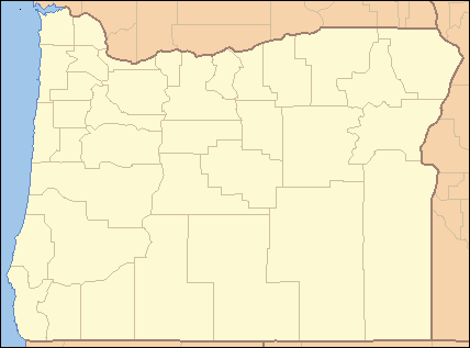 Location of the mouth of Rock Creek in Oregon | |
Rock Creek is an 82-mile (132 km) tributary of the John Day River in the U.S. state of Oregon. The source of the creek is at an elevation of 4,351 feet (1,326 m) in the Umatilla National Forest, while the mouth is at an elevation of 404 feet (123 m) east of Wasco. Rock Creek has a 507-square-mile (1,310 km2) watershed.[2][3][4]
See also
References
- ↑ Derived from Google Earth search using Geographic Names Information System (GNIS) source coordinates.
- 1 2 3 "Rock Creek". Geographic Names Information System (GNIS). United States Geological Survey. November 28, 1980. Retrieved September 15, 2010.
- 1 2 "National Hydrography Dataset". United States Geological Survey. Retrieved September 3, 2010.
- 1 2 "Watershed Boundary Dataset". USDA, NRCS, National Cartography and Geospatial Center. Retrieved September 4, 2010.
This article is issued from
Wikipedia.
The text is licensed under Creative Commons - Attribution - Sharealike.
Additional terms may apply for the media files.