Rochester, Northumberland
| Rochester | |
|---|---|
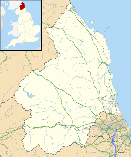 Rochester Rochester shown within Northumberland | |
| Population | 344 |
| OS grid reference | NY835985 |
| Civil parish |
|
| Unitary authority | |
| Ceremonial county | |
| Region | |
| Country | England |
| Sovereign state | United Kingdom |
| Post town | NEWCASTLE UPON TYNE |
| Postcode district | NE19 |
| Dialling code | 01830 |
| Police | Northumbria |
| Fire | Northumberland |
| Ambulance | North East |
| EU Parliament | North East England |
| UK Parliament | |
Rochester is a small village and civil parish in north Northumberland, England. It is five miles north-west of Otterburn on the A68 road between Corbridge and Jedburgh. The village is the site of the Roman fort of Bremenium, built there to protect the important Roman road of Dere Street, which passes through the village.
The civil parish extends north west of the village to the Scottish border. It includes the settlements of Byrness, Ramshope and Cottonshopeburnfoot, and the now closed Redesdale Camp, an army base in the Otterburn Training Area. In the 2001 census (when Redesdale Camp was open) the parish had a population of 358,[1] reducing to 344 at the 2011 Census.[2]
Governance
Rochester is in the parliamentary constituency of Hexham.
References
- ↑ 2001 cenusu: Neighbourhood Statistics
- ↑ "Parish population 2011". Retrieved 25 June 2015.
External links

This article is issued from
Wikipedia.
The text is licensed under Creative Commons - Attribution - Sharealike.
Additional terms may apply for the media files.