River Don, Tyne and Wear
| River Don | |
 Don near Boldon Colliery | |
| Country | England |
|---|---|
| County | Tyne and Wear |
| Source | |
| - location | Springwell |
| Mouth | |
| - location | River Tyne at Jarrow |
| - coordinates | 54°59′10″N 1°28′20″W / 54.986114°N 1.472084°WCoordinates: 54°59′10″N 1°28′20″W / 54.986114°N 1.472084°W |
| Length | 15.4 km (10 mi) |
| Basin | 42.7 km2 (16 sq mi) |
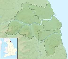 Location of the mouth within Tyne and Wear | |
The River Don is a 15.4 kilometres (9.6 mi) long tributary of the River Tyne in Tyne and Wear, North East England.[1]
It rises near Springwell and flows east for about 6 km, then turns north. It meets the river Tyne at Jarrow. For much of its length in the upper section, it is the boundary between Gateshead and Sunderland.
See also
References
| Wikimedia Commons has media related to River Don, Tyne and Wear. |
This article is issued from
Wikipedia.
The text is licensed under Creative Commons - Attribution - Sharealike.
Additional terms may apply for the media files.