Ripplebrook, Victoria
| Ripplebrook Victoria | |
|---|---|
 Ripplebrook | |
| Coordinates | 38°12′S 145°45′E / 38.200°S 145.750°ECoordinates: 38°12′S 145°45′E / 38.200°S 145.750°E |
| Population | 221 (2016 census)[1] |
| Postcode(s) | 3818 |
| Location | 100 km (62 mi) SE of Melbourne |
| LGA(s) | Shire of Baw Baw |
| State electorate(s) | Narracan |
| Federal Division(s) | McMillan |
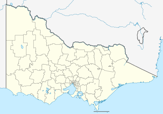
Ripplebrook is a small township 15 minutes south west of Drouin and 25 minutes north east of Lang Lang. It is 1 hour and 25 minutes from Melbourne's CBD. As of the 2006 Australian Census, Ripplebrook has a population of 221[1].
Ripplebrook is mainly farmland used for horse agistment and stud farms. It has a primary school and a Bed & Breakfast Ripplebrook Cottages[2]
References
- 1 2 Australian Bureau of Statistics (27 June 2017). "Ripplebrook (State Suburb)". 2016 Census QuickStats. Retrieved 25 March 2018.

- ↑ http://www.ripplebrookcottages.com.au/
This article is issued from
Wikipedia.
The text is licensed under Creative Commons - Attribution - Sharealike.
Additional terms may apply for the media files.