Ratitovec
| Ratitovec | |
|---|---|
 | |
| Highest point | |
| Elevation | 1,678 m (5,505 ft) |
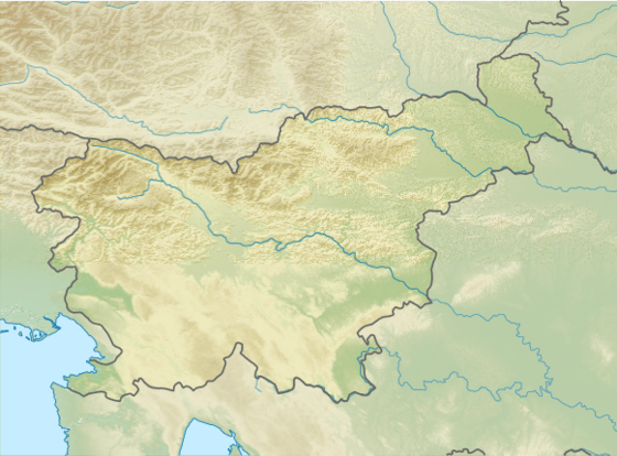
| Coordinates | 46°14′20.364″N 14°4′27.840″E / 46.23899000°N 14.07440000°ECoordinates: 46°14′20.364″N 14°4′27.840″E / 46.23899000°N 14.07440000°E |
| Geography | |
 Ratitovec | |
| Parent range | Škofjeloško hribovje |
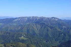
Ratitovec (sometimes also called Altemaver) is a 1678 m mountain in Slovenia, part of the Julian Alps. There is a krek hut on the top of the mountain.[1]
Starting points and routes
References
External links

- Route description
- Ratitovec on Hribi.net
- Hiking club Železniki
This article is issued from
Wikipedia.
The text is licensed under Creative Commons - Attribution - Sharealike.
Additional terms may apply for the media files.