Rantoul National Aviation Center
| Rantoul National Aviation Center Airport Frank Elliott Field | |||||||||||||||
|---|---|---|---|---|---|---|---|---|---|---|---|---|---|---|---|
| Summary | |||||||||||||||
| Airport type | Public | ||||||||||||||
| Owner | Village of Rantoul | ||||||||||||||
| Serves | Rantoul, Illinois | ||||||||||||||
| Elevation AMSL | 737 ft / 225 m | ||||||||||||||
| Coordinates | 40°17′37″N 88°08′33″W / 40.29361°N 88.14250°WCoordinates: 40°17′37″N 88°08′33″W / 40.29361°N 88.14250°W | ||||||||||||||
| Website | village.rantoul.il.us/... | ||||||||||||||
| Map | |||||||||||||||
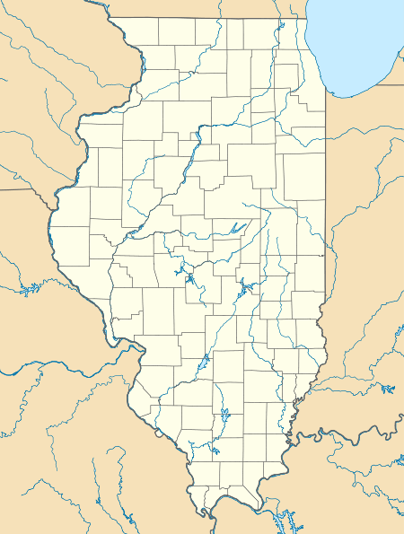
 TIP Location of airport in Illinois  TIP TIP (the US) | |||||||||||||||
| Runways | |||||||||||||||
| |||||||||||||||
| Statistics | |||||||||||||||
| |||||||||||||||
Rantoul National Aviation Center (ICAO: KTIP, FAA LID: TIP), also known as Frank Elliott Field, is a public use airport located in Rantoul, a village in Champaign County, Illinois, United States. It is owned by the Village of Rantoul.[1]
Although most U.S. airports use the same three letter location identifier for the FAA and IATA, Rantoul National Aviation Center is assigned TIP by the FAA but has no designation from the IATA (which assigned TIP to Tripoli International Airport in Tripoli, Libya).[2][3]
History
The airport was established in 1993 after the closure of Chanute Air Force Base (which was established as Chanute Field in 1917).
Facilities and aircraft
Rantoul National Aviation Center covers an area of 1,192 acres (482 ha) and contains two asphalt paved runways: 9/27 measuring 5,001 by 75 ft (1,524 by 23 m) and 18/36 measuring 4,894 by 75 ft (1,492 by 23 m). For the 12-month period ending December 31, 2005, the airport had 20,000 aircraft operations, an average of 54 per day: all general aviation. In November 2016, there were 11 aircraft based at this airport: 5 single-engine, 4 multi-engine and 2 helicopter.[1]
References
External links
- Rantoul National Aviation Center at Village of Rantoul website
- FAA Terminal Procedures for TIP, effective October 11, 2018
- Resources for this airport:
- FAA airport information for TIP
- AirNav airport information for KTIP
- FlightAware airport information and live flight tracker
- NOAA/NWS latest weather observations
- SkyVector aeronautical chart, Terminal Procedures