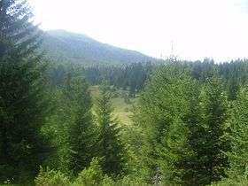
Raduša (mountain)
| Raduša | |
|---|---|
 | |
| Highest point | |
| Elevation | 1,956 m (6,417 ft) |
| Coordinates | 43°52′23″N 17°27′03″E / 43.87306°N 17.45083°ECoordinates: 43°52′23″N 17°27′03″E / 43.87306°N 17.45083°E |
| Geography | |
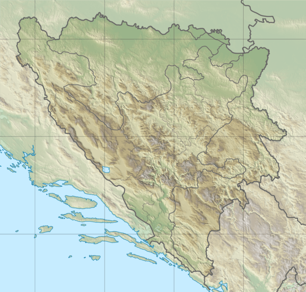 Raduša Location in Bosnia and Herzegovina | |
| Location | Bosnia and Herzegovina |
| Parent range | Dinaric Alps |
Raduša is a mountain in the Dinaric Alps of Bosnia and Herzegovina, located near Gornji Vakuf, spanning the area between Vukovsko polje in the north, the Stožer mountain in the east, the Rama basin in the south, the Makljen mountain pass in the west, near the source of the Vrbas. The highest peak is Idovac at 1,956 m (6,417 ft).[1]
References
- ↑ "Raduša, prirodna granica između Hercegovine i Bosne" (in Croatian). vrhovi.com. 22 April 2009. Retrieved 1 September 2016.
External links
This article is issued from
Wikipedia.
The text is licensed under Creative Commons - Attribution - Sharealike.
Additional terms may apply for the media files.