RAF Perranporth
| RAF Perranporth | |||||||||||||||||||
|---|---|---|---|---|---|---|---|---|---|---|---|---|---|---|---|---|---|---|---|
| Summary | |||||||||||||||||||
| Airport type | Military | ||||||||||||||||||
| Owner | Air Ministry | ||||||||||||||||||
| Operator | Royal Air Force | ||||||||||||||||||
| Location | Perranporth | ||||||||||||||||||
| Built | 1940 | ||||||||||||||||||
| In use | 1941-1945 | ||||||||||||||||||
| Elevation AMSL | ft / 97 m | ||||||||||||||||||
| Coordinates | 50°19′53″N 005°10′36″W / 50.33139°N 5.17667°WCoordinates: 50°19′53″N 005°10′36″W / 50.33139°N 5.17667°W | ||||||||||||||||||
| Map | |||||||||||||||||||
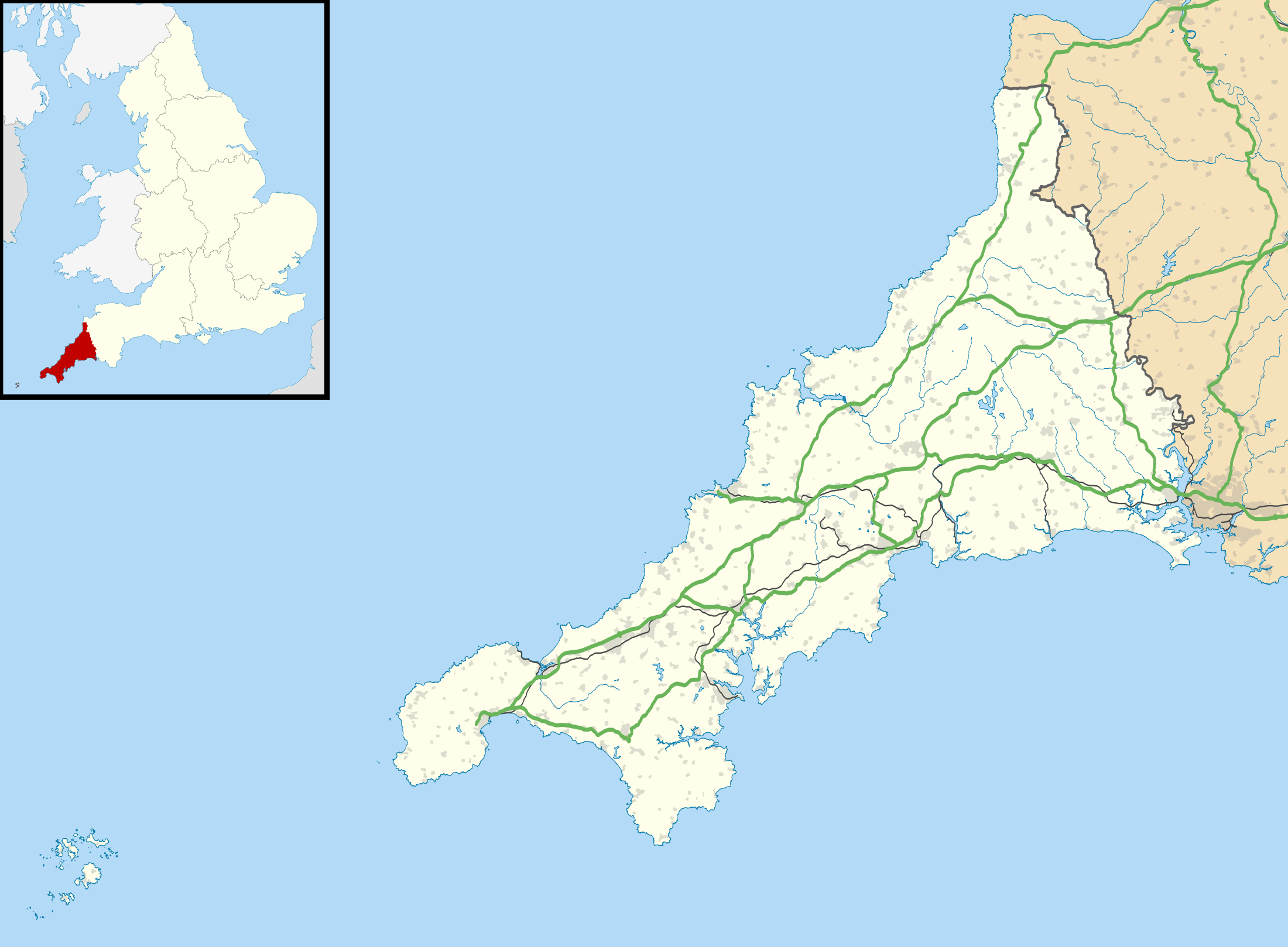 RAF Perranporth Location in Cornwall | |||||||||||||||||||
| Runways | |||||||||||||||||||
| |||||||||||||||||||
RAF Perranporth was an RAF airfield situated near Perranporth, Cornwall, in the United Kingdom.
History
The 330 acre (134 hectares) airfield was built as an RAF Supermarine Spitfire station in World War II in 1941 and is situated on Cligga cliffs in the north of Cornwall.
Rare 1942 film footage of RAF pilots and Spitfires at RAF Perranporth is shown on the BBC website.[1]
Units
- No. 19 Squadron RAF.[2]
- No. 65 Squadron RAF.[3]
- No. 66 Squadron RAF.[3]
- No. 118 Squadron RAF.[4]
- No. 130 Squadron RAF.[5]
- No. 132 Squadron RAF.[5]
- No. 183 Squadron RAF.[6]
- No. 234 Squadron RAF.[7]
- No. 276 Squadron RAF.[8]
- No. 286 Squadron RAF.[9]
- No. 302 Squadron RAF.[10]
- No. 310 Squadron RAF.[11]
- No. 317 Squadron RAF.[12]
- No. 329 Squadron RAF.[13]
- No. 340 Squadron RAF.[13]
- No. 341 Squadron RAF.[14]
- No. 412 Squadron RAF.[15]
- No. 453 Squadron RAF.[16]
- No. 602 Squadron RAF.[17]
- No. 610 Squadron RAF.[18]
- No. 639 Squadron RAF.[19]
Current use
The airfield was later converted to civilian use as Perranporth Airfield; it currently has three hard surface runways and two grass strips.
References
Citations
- ↑ BBC news - 2009-Nov-06 - Spitfire pilot hi-jinks found on film Archived 7 November 2009 at the Wayback Machine.
- ↑ Jefford 1988, p. 30.
- 1 2 Jefford 1988, p. 45.
- ↑ Jefford 1988, p. 57.
- 1 2 Jefford 1988, p. 59.
- ↑ Jefford 1988, p. 66.
- ↑ Jefford 1988, p. 75.
- ↑ Jefford 1988, p. 82.
- ↑ Jefford 1988, p. 83.
- ↑ Jefford 1988, p. 84.
- ↑ Jefford 1988, p. 85.
- ↑ Jefford 1988, p. 86.
- 1 2 Jefford 1988, p. 87.
- ↑ Jefford 1988, p. 88.
- ↑ Jefford 1988, p. 90.
- ↑ Jefford 1988, p. 93.
- ↑ Jefford 1988, p. 98.
- ↑ Jefford 1988, p. 99.
- ↑ Jefford 1988, p. 101.
Bibliography
- Jefford MBE, Wg Cdr C G (1988). RAF Squadrons. A comprehensive record of the movement and equipment of all RAF squadrons and their antecedents since 1912. Shrewsbury: Airlife. ISBN 1-85310-053-6.
External links
Royal Air Force portal | ||
| Formations and units |  | |
| Branches and components | ||
| Reserve forces | ||
| Associated civil organisations | ||
| Equipment | ||
| Personnel | ||
| Appointments | ||
| Symbols and uniform | ||
This article is issued from
Wikipedia.
The text is licensed under Creative Commons - Attribution - Sharealike.
Additional terms may apply for the media files.