Qillqata (Chuquisaca)
| Qillqata | |
|---|---|
 Qillqata Location within Bolivia | |
| Highest point | |
| Elevation | 3,794 m (12,448 ft) [1] |
| Coordinates | 20°03′36″S 65°17′00″W / 20.06000°S 65.28333°WCoordinates: 20°03′36″S 65°17′00″W / 20.06000°S 65.28333°W |
| Geography | |
| Location |
Bolivia, Chuquisaca Department |
| Parent range | Andes |
Qillqata (Aymara qillqaña to write,[2] -ta a suffix, "written" or "something written", also spelled Khelkhata) is a 3,794-metre-high (12,448 ft) mountain in the Bolivian Andes. It is located in the Chuquisaca Department, Nor Cinti Province, San Lucas Municipality, near the border to the Potosí Department, José María Linares Province, Puna Municipality. It lies southeast of Otavi (Utawi).[1][3]
References
- 1 2 Bolivian IGM map 1:50,000 Otavi 6533-IV
- ↑ Radio San Gabriel, "Instituto Radiofonico de Promoción Aymara" (IRPA) 1993, Republicado por Instituto de las Lenguas y Literaturas Andinas-Amazónicas (ILLLA-A) 2011, Transcripción del Vocabulario de la Lengua Aymara, P. Ludovico Bertonio 1612 (Spanish-Aymara-Aymara-Spanish dictionary)
- ↑ "San Lucas". INE, Bolivia. Archived from the original on May 6, 2016. Retrieved April 26, 2016.
Capital: Sucre | ||
| Provinces | 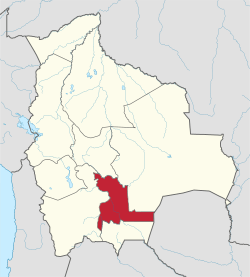 | |
| Municipalities and seats |
| |
This article is issued from
Wikipedia.
The text is licensed under Creative Commons - Attribution - Sharealike.
Additional terms may apply for the media files.