Puka Qaqa (Bolivia)
| Puka Qaqa | |
|---|---|
 Puka Qaqa Location within Bolivia | |
| Highest point | |
| Elevation | 3,308 m (10,853 ft) [1] |
| Coordinates | 19°20′46″S 64°45′42″W / 19.34611°S 64.76167°WCoordinates: 19°20′46″S 64°45′42″W / 19.34611°S 64.76167°W |
| Geography | |
| Location |
Bolivia, Chuquisaca Department |
| Parent range | Andes |
Puka Qaqa (Quechua puka red, qaqa rock,[2] "red rock", also spelled Puca Khakha) is a 3,308-metre-high (10,853 ft) mountain in the Bolivian Andes. It is located in the Chuquisaca Department, Jaime Zudáñez Province, Icla Municipality, northeast of the village of Icla. The Jatun Mayu flows along its southern slope.[1][3]
References
Capital: Sucre | ||
| Provinces | 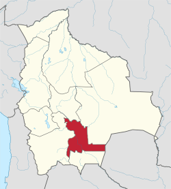 | |
| Municipalities and seats |
| |
This article is issued from
Wikipedia.
The text is licensed under Creative Commons - Attribution - Sharealike.
Additional terms may apply for the media files.