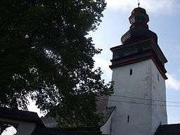
Poruba, Prievidza District
| Poruba | |
| Village | |
 | |
| Country | Slovakia |
|---|---|
| Region | Trenčín |
| District | Prievidza |
| Elevation | 400 m (1,312 ft) |
| Coordinates | 48°49′N 18°35′E / 48.817°N 18.583°ECoordinates: 48°49′N 18°35′E / 48.817°N 18.583°E |
| Area | 15 km2 (6 sq mi) |
| Population | 1,287 (2004-12-31) |
| Density | 86/km2 (223/sq mi) |
| First mentioned | 1339 |
| Postal code | 972 11 |
| Area code | +421-46 |
| Car plate | PD |
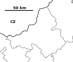
  Location of Poruba in Slovakia | |
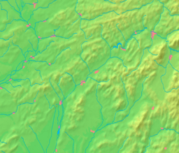  Location of Poruba in the Trenčín Region | |
| Statistics: MOŠ/MIS | |
| Website: www.poruba.sk | |
History
In historical records the village was first mentioned in 1339.
Geography
The municipality lies at an altitude of 400 metres and covers an area of 15.145 km². It has a population of about 1,287 people. Poruba belongs to the Prievidza District of the Trenčín Region.
External links
This article is issued from
Wikipedia.
The text is licensed under Creative Commons - Attribution - Sharealike.
Additional terms may apply for the media files.