Port Franklin, Victoria
| Port Franklin Victoria | |
|---|---|
 Banks of the Franklin River looking south towards Wilsons Promontory | |
 Port Franklin | |
| Coordinates | 38°41′S 146°17′E / 38.683°S 146.283°ECoordinates: 38°41′S 146°17′E / 38.683°S 146.283°E |
| Population | 121 (2006 census)[1] |
| Postcode(s) | 3964 |
| Location | |
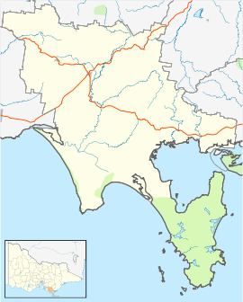
| LGA(s) | South Gippsland Shire |
| State electorate(s) | Gippsland South |
| Federal Division(s) | McMillan |
Port Franklin is a small fishing village 182 kilometres (113 mi) south-east of Melbourne in Victoria, Australia. It is about 2 km inland from the coastline of Corner Inlet. At the 2006 census, Port Franklin had a population of 121.[1]
Port Franklin is situated on the banks of the Franklin River between Toora and Foster. The river is lined with small commercial fishing boats, privately owned pleasure craft as well as commercial charter vessels. The local community maintain the public hall, playground, tennis courts and parklands.
The Post Office opened around 1902, was known as Bowen until 1910 and closed in 1993.[2]
References
- 1 2 Australian Bureau of Statistics (25 October 2007). "Port Franklin (State Suburb)". 2006 Census QuickStats. Retrieved 2007-08-06.
- ↑ Premier Postal History, Post Office List, retrieved 2008-04-11
This article is issued from
Wikipedia.
The text is licensed under Creative Commons - Attribution - Sharealike.
Additional terms may apply for the media files.