Port Esquivel Airstrip
| Port Esquivel Airstrip | |||||||||||
|---|---|---|---|---|---|---|---|---|---|---|---|
| Summary | |||||||||||
| Airport type | Private | ||||||||||
| Serves | Old Harbour, Jamaica | ||||||||||
| Elevation AMSL | 3 ft / 1 m | ||||||||||
| Coordinates | 17°53′30″N 77°08′10″W / 17.89167°N 77.13611°WCoordinates: 17°53′30″N 77°08′10″W / 17.89167°N 77.13611°W | ||||||||||
| Map | |||||||||||
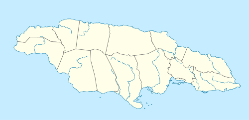 Port Esquivel Airstrip Location of the airport in Jamaica | |||||||||||
| Runways | |||||||||||
| |||||||||||
Port Esquivel Airstrip is an airstrip serving the town of Old Harbour in the Saint Catherine Parish of Jamaica. The airstrip is 6 kilometres (3.7 mi) southwest of Old Harbour.
South approach and departure are over the water.
The Manley VOR/DME (Ident: MLY) is located 20.6 nautical miles (38.2 km) east of the airstrip.[3]
See also


- Transport in Jamaica
- List of airports in Jamaica
References
External links
| International | |
|---|---|
| Domestic | |
| Military |
|
This article is issued from
Wikipedia.
The text is licensed under Creative Commons - Attribution - Sharealike.
Additional terms may apply for the media files.