Platthorn
| Platthorn | |
|---|---|
 | |
| Highest point | |
| Elevation | 3,246 m (10,650 ft) |
| Prominence | 361 m (1,184 ft) [1] |
| Parent peak | Monte Rosa |
| Coordinates | 46°3′13″N 7°44′11″E / 46.05361°N 7.73639°ECoordinates: 46°3′13″N 7°44′11″E / 46.05361°N 7.73639°E |
| Geography | |
 Platthorn Location in Switzerland | |
| Location | Valais, Switzerland |
| Parent range | Pennine Alps |
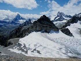
The Platthorn is a mountain of the Swiss Pennine Alps, located south of Grächen in the canton of Valais. It lies north of the Färichhorn and the Balfrin, on the range between the Mattertal and the Saastal.
Access roads and normal climbing route
The access is from Zermatt. The town is closed for car traffic so you will have to use train.
There are two possible routes from Zermatt. The first is from the train station up the slopes of Wisshorn and then around it at an altitude of 2700 meters. The second is from the center of Zermatt, along the valley of Triftbach. You will pass Trift Alp hotel far above Zermatt. It is at the altitude around 2340 m. From there, continue in the north direction along pleasant meadows and at the altitude of around 2730 meters, you will see the former route on your right side. So from this point, the two routes merge and you are on your second part toward the summit.
This is a simple walk up in the summer time, no special equipment is required. See more in the links below.
References
External links