Plata, Texas
| Plata, Texas | |
|---|---|
| unincorporated community | |
 Plata, Texas Location within Texas | |
| Coordinates: 29°52′34″N 104°01′3″W / 29.87611°N 104.01750°WCoordinates: 29°52′34″N 104°01′3″W / 29.87611°N 104.01750°W | |
| Country | United States |
| State | Texas |
| County | Presidio |
| Elevation | 3,780 ft (1,152 m) |
| Time zone | UTC-6 (Central (CST)) |
| • Summer (DST) | UTC-5 (CDT) |
| ZIP codes | 79843 |
| Area code | 432 |
| GNIS feature ID | 2033940, 1380371 |
Plata is an unincorporated community in Presidio County, Texas, on Texas Farm Road 169 approximately 25 miles south of the county seat of Marfa. The population at the 2000 census was 37.
Plata is Spanish for "silver."
Education
Plata is zoned to schools in the Marfa Independent School District.
Climate
This area has a large amount of sunshine year round due to its stable descending air and high pressure. According to the Köppen Climate Classification system, Plata has a mild desert climate, abbreviated BWn on climate maps.[1]
References
External links
- Plata, Texas from the Handbook of Texas Online
Municipalities and communities of Presidio County, Texas, United States | ||
|---|---|---|
| Cities | 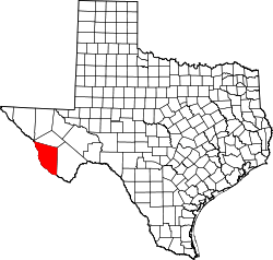 | |
| CDP | ||
| Unincorporated communities | ||
| Ghost towns | ||
This article is issued from
Wikipedia.
The text is licensed under Creative Commons - Attribution - Sharealike.
Additional terms may apply for the media files.