Plantagenet County, Western Australia
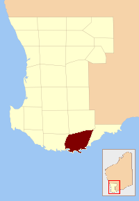
Location of Plantagenet county within the 26 counties of Western Australia
Plantagenet County was one of the 26 counties of Western Australia that were designated in 1829 as cadastral divisions, and was centred on the coastal settlement of Albany. It approximately corresponds to the modern-day Plantagenet Land District which forms the basis for land titles in the area.[1]
References
- ↑ Taylor, Thomas George (1860). Western Australia; its history, progress, position, & prospects, Volume 13. London: G.Street. p. 11. Retrieved 26 January 2016.
External links
This article is issued from
Wikipedia.
The text is licensed under Creative Commons - Attribution - Sharealike.
Additional terms may apply for the media files.