Pissa, Central African Republic
| Pissa | |
|---|---|
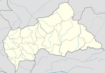 Pissa Location in Central African Republic | |
| Coordinates: 4°3′7″N 18°11′52″E / 4.05194°N 18.19778°ECoordinates: 4°3′7″N 18°11′52″E / 4.05194°N 18.19778°E | |
| Country | Central African Republic |
| Prefecture | Lobaye |
| District | Mbaki |
| Elevation | 1,339 ft (408 m) |
Pissa is a village in the Lobaye region in the Central African Republic southwest of the capital, Bangui and near the border with the Democratic Republic of the Congo.
Nearby towns and villages include Bogombe (3.9 nm), Boyama (3.6 nm), Sinzongo (1.4 nm), Biami (5.4 nm), Bogboua(6.2 nm) and Boundara (7.2 nm) .[1]
References
- ↑ Falling rain gazetteer
This article is issued from
Wikipedia.
The text is licensed under Creative Commons - Attribution - Sharealike.
Additional terms may apply for the media files.