Pingirip
| Pingirip | |
|---|---|
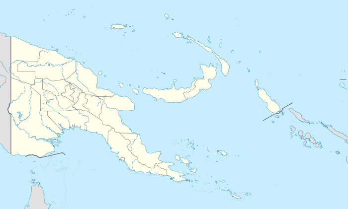
 Pingirip Location within Papua New Guinea | |
| Coordinates: 6°00′00″S 143°36′00″E / 6.00000°S 143.60000°ECoordinates: 6°00′00″S 143°36′00″E / 6.00000°S 143.60000°E | |
| Country |
|
| Province |
|
| District | Mendi-Munihu |
| Elevation | 2,260 m (7,410 ft) |
| Time zone | UTC+10:00 (AEST) |
Pingirip is a settlement is the Mendi-Munihu District of the Southern Highlands Province of Papua New Guinea.[1][2]
References
- ↑ "Pingirip". Geonames. Retrieved 20 September 2018.
- ↑ "Pingirip: Papua New Guinea". National Geospatial-Intelligence Agency, Bethesda, MD, USA. Retrieved 20 September 2018.
This article is issued from
Wikipedia.
The text is licensed under Creative Commons - Attribution - Sharealike.
Additional terms may apply for the media files.