Pico de Tenerife
| Pico de Tenerife | |
|---|---|
| Highest point | |
| Elevation | 1,253 m (4,111 ft) |
| Prominence | 1,253 metres (4,111 ft) |
| Coordinates | 28°16′N 16°38′W / 28.267°N 16.633°WCoordinates: 28°16′N 16°38′W / 28.267°N 16.633°W |
| Geography | |
| Location | El Hierro, Spain |
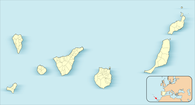
The Pico de Tenerife is 1,253 meters, the second highest altitude of the island of El Hierro, Canary Islands, Spain, after the Pico de Malpaso with 1,501 meters in height.[1]
See also
References
This article is issued from
Wikipedia.
The text is licensed under Creative Commons - Attribution - Sharealike.
Additional terms may apply for the media files.
