Pico Teneriffe (Barbados)
| Pico Teneriffe | |
|---|---|
 Pico Teneriffe | |
| Highest point | |
| Elevation | 100 m (330 ft) |
| Coordinates | 13°17′40″N 59°34′22″W / 13.294425°N 59.572791°WCoordinates: 13°17′40″N 59°34′22″W / 13.294425°N 59.572791°W |
| Geography | |
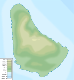
| Location | Saint Peter, Barbados |
The Pico Teneriffe, is a rocky cape on the northeast coast of the island of Barbados, in the Parish of Saint Peter.[1]
It is a coral cliff in the shape of a pinnacle that does not reach 100 meters in height, named after the fact that the island of Tenerife in Spain is the first land east of Barbados, according to the inhabitants of the place. The presence in the place of people arrived from the Canary Islands in the time of the colonization of Barbados is not ruled out, but unlikely.[1][2]
See also
References
- 1 2 "Pico Teneriffe - Barbados Pocket Guide". barbadospocketguide.com. Retrieved 2016-11-27.
- ↑ "Tenerife: desde las antípodas hasta la Luna | Diario de Avisos". diariodeavisos.com. Retrieved 2016-11-27.
This article is issued from
Wikipedia.
The text is licensed under Creative Commons - Attribution - Sharealike.
Additional terms may apply for the media files.