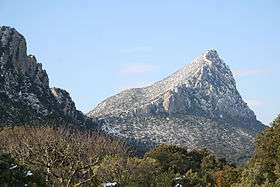
Pic Saint-Loup
| Pic Saint-Loup | |
|---|---|
 | |
| Highest point | |
| Elevation | 658 m (2,159 ft) |
| Coordinates | 43°46′43″N 3°48′41″E / 43.77861°N 3.81139°ECoordinates: 43°46′43″N 3°48′41″E / 43.77861°N 3.81139°E |
| Geography | |
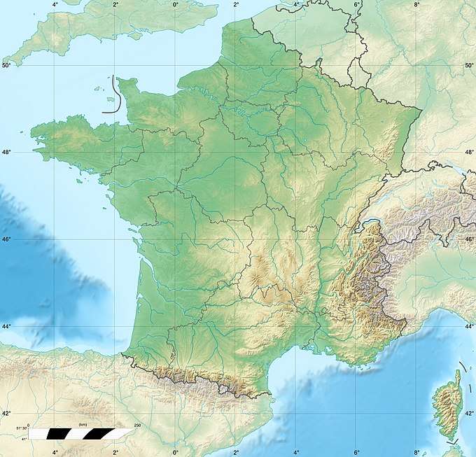 Pic Saint-Loup France | |
| Location | Hérault, France |
| Parent range | Massif Central |
Pic Saint-Loup (Languedocien: Puòg de Sant Lop) is a mountain in Languedoc-Roussillon, southern France, located near the communes of Cazevieille and Saint-Mathieu-de-Tréviers in the Hérault department.
| Wikimedia Commons has media related to Pic Saint-Loup. |
This article is issued from
Wikipedia.
The text is licensed under Creative Commons - Attribution - Sharealike.
Additional terms may apply for the media files.