Pheca
Coordinates: 39°31′25″N 21°37′47″E / 39.52371°N 21.629739°E
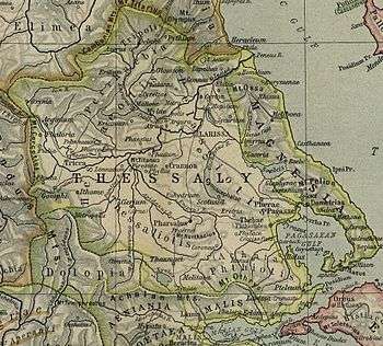
Map showing ancient Thessaly. Phaeca is shown to the centre left near Gomphi.
Pheca or Phaika or Phaeca (Ancient Greek: Φαίκα) or Phecadum was a fortress and town lying between the pass of Portes and Gomphi in ancient Thessaly.[1] In the war against Philip V of Macedon, Amynander of Athamania, king of the Athamanes, in co-operation with the Roman consul Titus Quinctius Flamininus, having descended from the pass of Portes, first took Pheca and then Gomphi itself, 198 BCE.[2]
References
- ↑ Livy. Ab Urbe Condita Libri (History of Rome). 31.41, 32.14.
- ↑ Livy. Ab Urbe Condita Libri (History of Rome). 32.14.
- ↑ Richard Talbert, ed. (2000). Barrington Atlas of the Greek and Roman World. Princeton University Press. p. 55, and directory notes accompanying.
- ↑ Lund University. Digital Atlas of the Roman Empire.
This article is issued from
Wikipedia.
The text is licensed under Creative Commons - Attribution - Sharealike.
Additional terms may apply for the media files.