Phalara
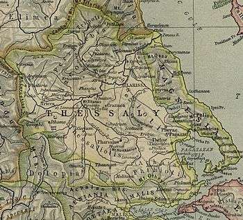
Map showing ancient Thessaly. Phalara is shown to the centre bottom on the Malian Gulf.
Coordinates: 38°54′46″N 22°36′26″E / 38.9129°N 22.6073°E Phalara (Ancient Greek: τὰ Φάλαρα)[1] was a city in Malis in ancient Thessaly that functioned as the port of Lamia. It is located at the modern town of Stylida.[2][3][4]
References
- ↑ Strabo. Geographica. ix. p. 435. Page numbers refer to those of Isaac Casaubon's edition.
- ↑ Richard Talbert, ed. (2000). Barrington Atlas of the Greek and Roman World. Princeton University Press. p. 55, and directory notes accompanying.
- ↑ Richard Stillwell, William L. MacDonald, Marian Holland McAllister, Stillwell, Richard, MacDonald, William L., McAlister, Marian Holland, eds. (1976). "Phalara". The Princeton Encyclopedia of Classical Sites. Princeton University Press.
- ↑ Lund University. Digital Atlas of the Roman Empire.
This article is issued from
Wikipedia.
The text is licensed under Creative Commons - Attribution - Sharealike.
Additional terms may apply for the media files.