Pettytown, Texas
| Pettytown, Texas | |
|---|---|
| Unincorporated community | |
 Pettytown  Pettytown | |
| Coordinates: 29°54′27″N 97°27′34″W / 29.90750°N 97.45944°WCoordinates: 29°54′27″N 97°27′34″W / 29.90750°N 97.45944°W | |
| Country | United States |
| State | Texas |
| County | Caldwell |
| Elevation | 538 ft (164 m) |
| Time zone | UTC-6 (Central (CST)) |
| • Summer (DST) | UTC-5 (CDT) |
| Area code(s) | 512 & 737 |
| GNIS feature ID | 1380351[1] |
Pettytown is an unincorporated community in Bastrop and Caldwell counties in the U.S. state of Texas.[1] According to the Handbook of Texas, there are currently no population estimates available for the community. It is located within the Greater Austin metropolitan area.
Geography
Pettytown stands four miles south of Red Rock on the Caldwell County and Bastrop County border. Only a few scattered houses were in the community in the 1940 county highway map. Only a cemetery appeared in the community's map in the 1980s.[2]
Education
Pettytown had a school with one teacher and 42 students in 1905. It was shown on the 1940 county highway map, and was then consolidated with the Red Rock district in 1949.[2] Today the community is served by two school districts. The portion in Caldwell County is served by the Lockhart Independent School District and the portion in Bastrop County is served by the Bastrop Independent School District.
References
Municipalities and communities of Bastrop County, Texas, United States | ||
|---|---|---|
| Cities | 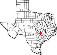 | |
| CDPs | ||
| Other unincorporated communities | ||
| Ghost towns |
| |
| Footnotes | ‡This populated place also has portions in an adjacent county or counties | |
Municipalities and communities of Caldwell County, Texas, United States | ||
|---|---|---|
| Cities | 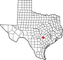 | |
| Unincorporated communities | ||
| Ghost towns | ||
| Footnotes | ‡This populated place also has portions in an adjacent county or counties | |