Pemagatsel
| Pema Gatshel | |
|---|---|
| Nickname(s): Khidung | |
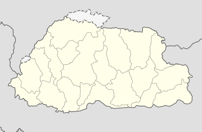 Pema Gatshel Location in Bhutan | |
| Coordinates: 27°2′N 91°27′E / 27.033°N 91.450°ECoordinates: 27°2′N 91°27′E / 27.033°N 91.450°E | |
| Country |
|
| District | Pema Gatshel District |
| Government | |
| • Type | Constitutional democratic monarchy |
| Area | |
| • | 400 sq mi (1,000 km2) |
| Time zone | UTC+6 (BTT) |
| Area code(s) | 07 |
Pema Gatshel, also transliterated as Pemagatsel[1], is a town in Pemagatshel District in eastern Bhutan.[2]
References
- ↑ see eg. https://www.drukgreen.bt/index.php/media-centre/news/external-news/256-daytime-black-out-in-east-and-central-region
- ↑ "NGA GeoName Database". National Geospatial Intelligence Agency. Archived from the original on 2008-06-08. Retrieved 2008-07-05.
External links
This article is issued from
Wikipedia.
The text is licensed under Creative Commons - Attribution - Sharealike.
Additional terms may apply for the media files.