Pearls Airport
| Pearls Airport | |||||||||||
|---|---|---|---|---|---|---|---|---|---|---|---|
| Summary | |||||||||||
| Airport type | Public | ||||||||||
| Operator | Grenada Airports Authority | ||||||||||
| Location | Grenville, Grenada | ||||||||||
| Coordinates | 12°08′37″N 061°37′00″W / 12.14361°N 61.61667°WCoordinates: 12°08′37″N 061°37′00″W / 12.14361°N 61.61667°W | ||||||||||
| Map | |||||||||||
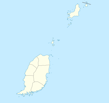 TGPG Location in Grenada | |||||||||||
| Runways | |||||||||||
| |||||||||||
Pearls Airport (ICAO: TGPG[1]) was an airport in Grenada, located at the North Eastern Corner of the island, 19 miles (31 km) north-east of the main town and capital St. George's (12 degrees 09 minutes North, 61 degrees 37 minutes West) with a runway set at a direction 082 degrees/262 degrees and 5,200 feet (1,600 m) long.[2].
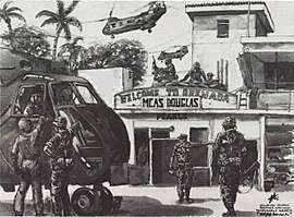
It was the country's first airport, opened in 1943 and was under the management of the Grenada Airports Authority. Pan American Airways did not operate in the Windward Islands, because of an excluding agreement made by the British Government to protect British West Indian Airways, this meant the airport was not in daily operation.[3] In 25 October 1983, Marines from the 8th Marine Regiment landed nearby by helicopter and "captured" Pearls Airport during the invasion of Grenada, meeting only light resistance.
In 1984, the airport was replaced as Grenada's main airport by the Point Salines International Airport, now called Maurice Bishop International Airport. It is now a construction site and go-kart track. There is a derelict Cubana airliner still in position by the runway.[4]
References
- ↑ Airport information for TGPG at Great Circle Mapper.
- ↑ Anuario Comercial de Las Antillas Y Países Del Caribe, Thomas Skinner Directories Caribook Limited, 1965
- ↑ Maurice Bishop International Airport - About Us Archived 2012-03-06 at the Wayback Machine.
- ↑ Aerial photo showing Cubana Airlines aircraft next to runway
External links
- Aerial photo of Pearl's Airport from SVG Air website