Patton, Shropshire
| Patton | |
|---|---|
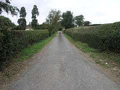 The lane leading to Patton Grange Farm | |
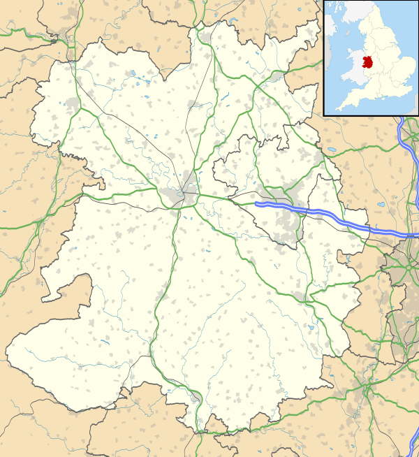 Patton Patton shown within Shropshire | |
| OS grid reference | SO583949 |
| Civil parish | |
| Unitary authority | |
| Ceremonial county | |
| Region | |
| Country | England |
| Sovereign state | United Kingdom |
| Post town | MUCH WENLOCK |
| Postcode district | TF13 |
| Dialling code | 01746 |
| Police | West Mercia |
| Fire | Shropshire |
| Ambulance | West Midlands |
| EU Parliament | West Midlands |
| UK Parliament | |
Patton is a hamlet in Shropshire, England.
It is located in the civil parish of Stanton Long, on the B4378 road between Bourton and Brockton. It lies on the eastern hillside of the upper Corve valley at an elevation of around 205 metres (673 ft) above sea level. The market town of Much Wenlock is 3.5 miles (5.6 km) distant.[1]
History
The name was first recorded in 901 as Peatingtune; it is Old English and derives from "the farmstead of Peat(t)a".[2]
The manor of Patton was recorded in the Domesday Book as Patintone and belonging to the hundred of Patton. The Book recorded in Patton only 6 households, which represented a quite small settlement. The caput of Patton hundred no longer was in Patton itself by 1066, but at Corfham which was a manor held by the king.[3]
Hundred
It formed part of and gave its name to the Saxon hundred of Patton, which existed until the early 12th century.
Patton hundred was then amalgamated with Culvestan into the new Munslow hundred. However circa 1200 a part of the Patton township was ceded to the franchise of Wenlock.
References
| Wikimedia Commons has media related to Patton, Shropshire. |
- ↑ Ordnance Survey mapping
- ↑ Anderson, Olof (1934) English Hundred Names p 159
- ↑ Open Domesday Patton