Parish of Tucinyah
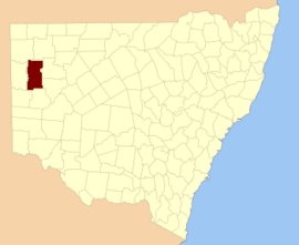
Tucinyah is a remote civil parish of Mootwingee County in far North West New South Wales.[1]
Tucinyah is located at 30°46′42″S 141°55′46″E / 30.778333°S 141.929444°ECoordinates: 30°46′42″S 141°55′46″E / 30.778333°S 141.929444°E in Far West New South Wales, is almost unpopulated, with less than two inhabitants per square kilometer.[2]The parish has a Köppen climate classification of BWh (Hot desert)[3].
References
- ↑ "Mootwingee County". Geographical Names Register (GNR) of NSW. Geographical Names Board of New South Wales.
- ↑ NASA Earth Observations: Population Density”. NASA/SEDAC..
- ↑ Peel, M. C.; Finlayson, B. L.; McMahon, T. A. (2007). "Updated world map of the Köppen–Geiger climate classification". Hydrol. Earth Syst. Sci. 11: 1633–1644. doi:10.5194/hess-11-1633-2007. ISSN 1027-5606. (direct: Final Revised Paper)
This article is issued from
Wikipedia.
The text is licensed under Creative Commons - Attribution - Sharealike.
Additional terms may apply for the media files.