Parish of Elsinora
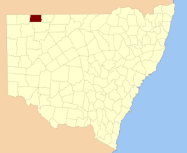
Elsinora, New South Wales is a civil Parish, of the County of Delalah,[1] a cadasteral division of New South Wales.[2]
Geography
The topography is the flat arid landscape of the Channel County with a Köppen climate classification of BWh (Hot arid)[3].
The economy in the parish is based on broad acre agriculture, mainly Wheat, and sheep. There are no towns in the parish and the nearest settlement is Wanaaring, New South Wales and then Hungerford, Queensland. The Queensland and New South Wales Border runs along the northern boundary of the parish.
History
The parish is on the traditional land of the Barindji people. The first Europeans through the area were Burke and Wills and in the 1890s was included in the Albert Goldfields.
The cattle station Elsinora Downs gave its name to the parish.
References
- ↑ Map of the County of Delalah, Western Division, N.S.W., 1914 (Department of Lands, Sydney N.S.W, 1914).
- ↑ "Delalah". Geographical Names Register (GNR) of NSW. Geographical Names Board of New South Wales. Retrieved 4 August 2013.
- ↑ Peel, M. C.; Finlayson, B. L.; McMahon, T. A. (2007). "Updated world map of the Köppen–Geiger climate classification". Hydrol. Earth Syst. Sci. 11: 1633–1644. doi:10.5194/hess-11-1633-2007. ISSN 1027-5606. (direct: Final Revised Paper)